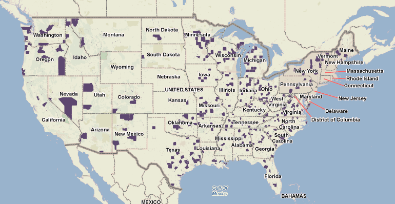
The Built Environment and Health Research Group has been creating maps showing where in the U.S. there are populations at high risk for severe COVID-19. By county, they mapped the number of people 65 years and older, 75 years and older and the numbers of people with underlying chronic conditions linked to severe COVID-19 disease. Counts of people rather than percentages of the population were mapped because it is the number of people, not the percent, that can strain the health care system. They also mapped the number of hospital beds by count (note that at any given time in the U.S. about 66% of beds are occupied by patients) and identified counties with large populations of adults 65+ years old and low numbers of hospital beds. More details are at BEH.Columbia.edu.

Counties in purple have large populations of older adults and low numbers of hospital beds. Maps created using PolicyMap.com

