
Gina Lovasi and colleagues just published a manuscript detailing work to clean and code data on all NYC metropolitan area businesses over the period 1990-2010. Their goal was to use twenty years of business establishment data to characterize changes in neighborhoods in terms of the retail food environment, access to physical activity venues, access to medical facilities and access to other commercial and not-for-profit establishments.
This effort was championed by lead author Tanya Kaufman, who has engaged in this effort since her MPH practicum project using these data. Daniel Sheehan was the lead geographer on the project and developed the geocoding and data quality control strategies and created time-lapse visualizations of businesses entering and existing the environment. The animation below shows changes in access to Healthy Food Outlets from 1990 to 2010. The full size animation can be seen here.
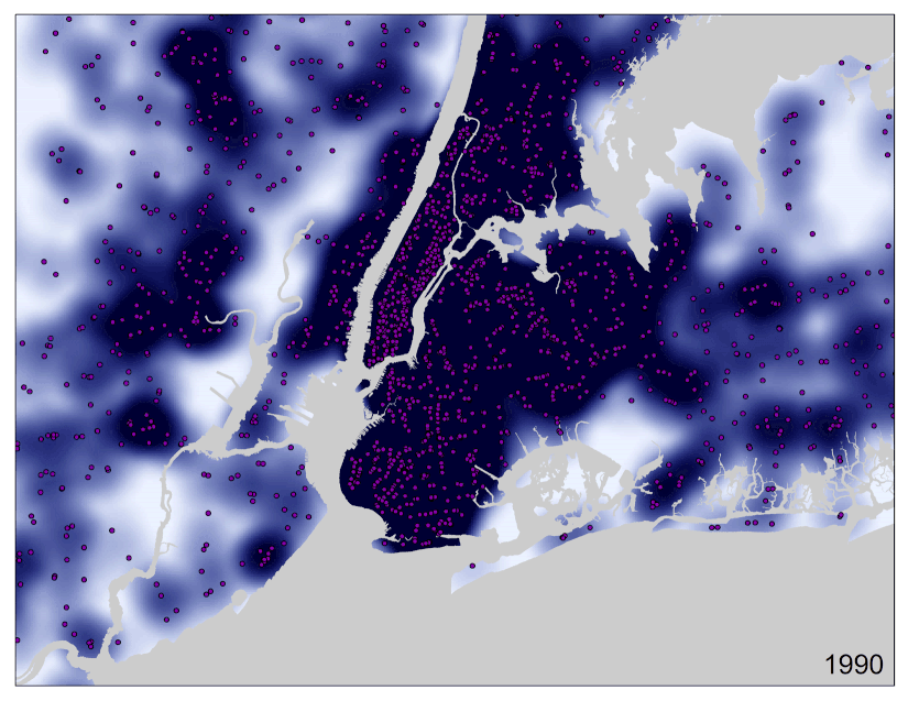
Changes in Healthy Food Retail Outlets – visualization by Dan Sheehan
The goal of this project was not only to understand and improve the quality of data for future analysis, but also to develop scalable approaches that can be used with the larger national dataset. Lovasi has recently been funded to purchase the nationwide business establishment data and to link these data to ongoing cohort studies of cardiovascular disease (R01AG049970-01A1, PI: Lovasi).