
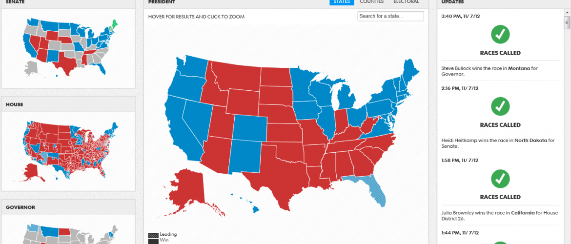
How did those news agencies make such fancy / slick / interactive maps to display each party’s progress in last night’s US election? Surely they used high-tech solutions unavailable to the average person, right?

Actually, No. Two of the main platforms utilized by news sites in the election are readily available to all!
- Mapbox (@mapbox): Development Seed utilized Mapbox maps to produce the visuals on USA Today’s site. Last semester we held a training with their powerful (and free) Tilemill software – check it out! Here’s a description of Mapbox from their site:
MapBox is a platform for designing and publishing fast and beautiful maps. We provide MapBox Streets, a complete customizable world base map, develop the powerful open source map design studio TileMill, make it easy to integrate maps into applications and websites, and support all of these tools on top of scalable, high-performance hosting. We’ve made MapBox developer friendly with an open API.
- Cartodb (@cartodb): Cartodb is powering the Wall Street Journal’s maps. One advantage here, noted by TechnoverseBlog, “One thing you notice right away is that it’s pretty easy to get meaty results with just minimal work.” Here is a cool tutorial on making an election map for New Hampshire. And Cartodb’s self-description from their site:
CartoDB is a product of Vizzuality, a data visualization consulting company, and was first created to meet the company´s own internal needs to map large and complex geospatial data sets. While using the platform for various internal projects we realized its full usefulness and potential and decided to make it open source. Developers, startups, as well as public and private institutions like The Wall St. Journal, Harvard University, Code for America and NASA are using CartoDB to map and build location-aware apps.
