
If you have ever wondered how crisis mapping can be applied to disasters here in the USA, Hurricane Sandy brought on a plethora of examples. You can decide for yourself the up sides (displaying information otherwise unattainable) and the down sides (duplicating efforts, misinformation a la Twitter). Here are a few interesting ones to check out:
- Super Storm Sandy – Created by Google.org, combining crowdsourced data and official information

- Tweak the Tweet Sandy – Created by University of Washington’s Human Centered Design & Engineering (specifically Kate Starbird, head of the Emerging Capacities of Mass Participation Lab), this map has a national scope and their data is all open and usable


- FEMA’s Hurricane Sandy maps – multiple maps available with different themes
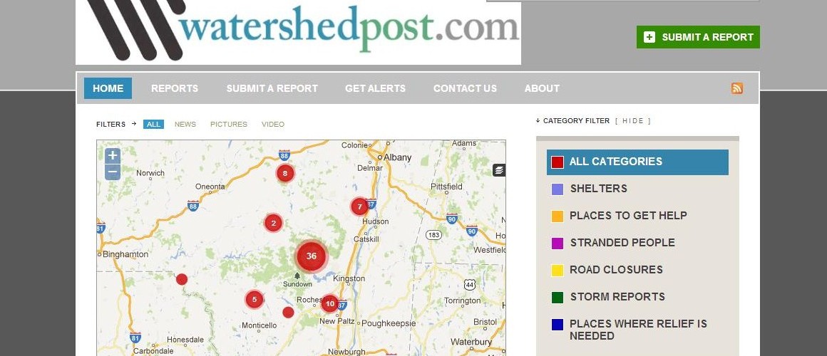
- Hurricane Sandy in the Catskills – a pretty straightforward crowdmap focused on the watershed


You can search all of the maps in a few places, including this google doc (h/t @HeatherLeson), HumanityRoad, and if you are interested only in crowdmap instances check here.
Finally, if you are interested in volunteering and helping out, register with @NYCService at http://www.nyc.gov/service.