
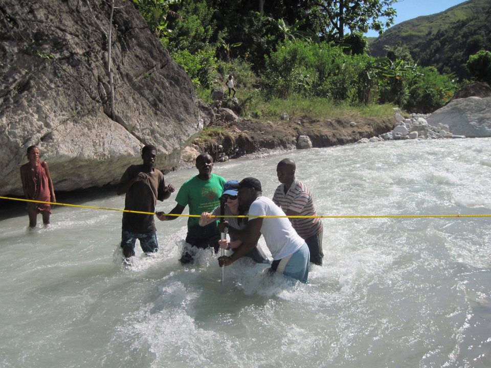
Monitoring river velocity using a flowmeter stick. Velocities are measured one to two times per month during periods of average to low river flow.

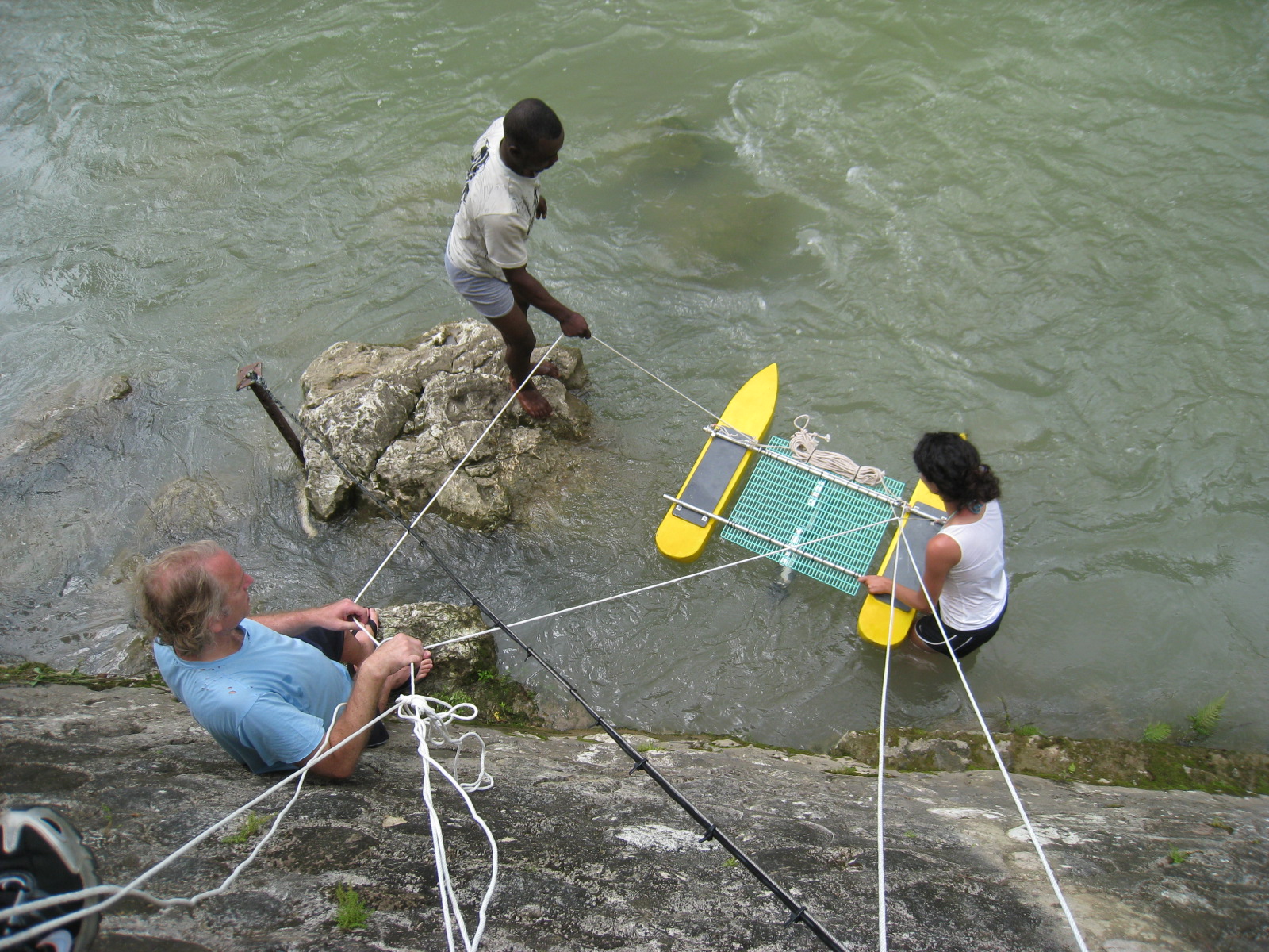
An Acoustic Doppler Current Profiler (ADCP) is used to capture river velocities during periods of high river flow, where conditions do not permit for flow stick measurements to be made safely. The photo on the right shows the ADCP being deployed in the Saut Mathurine river. Continuously monitoring pressure sensors are installed in the riverbeds to help derive the stage-discharge relationship for developing runoff rating curves. The permanent installation of these sensors is challenging given the difficult terrain and relatively high river flows at many locations in this region.
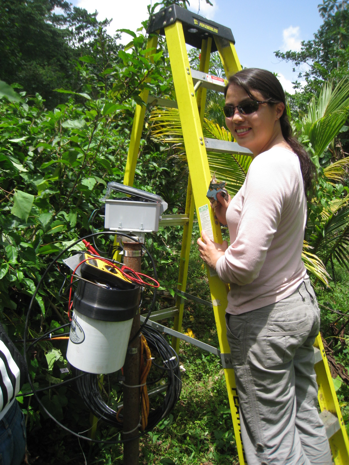
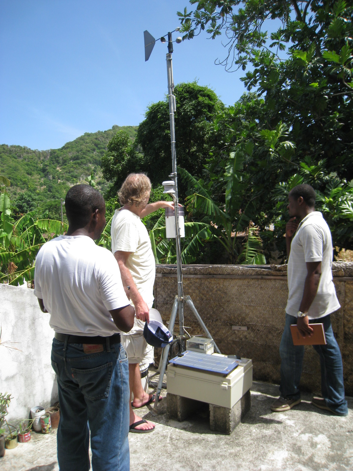
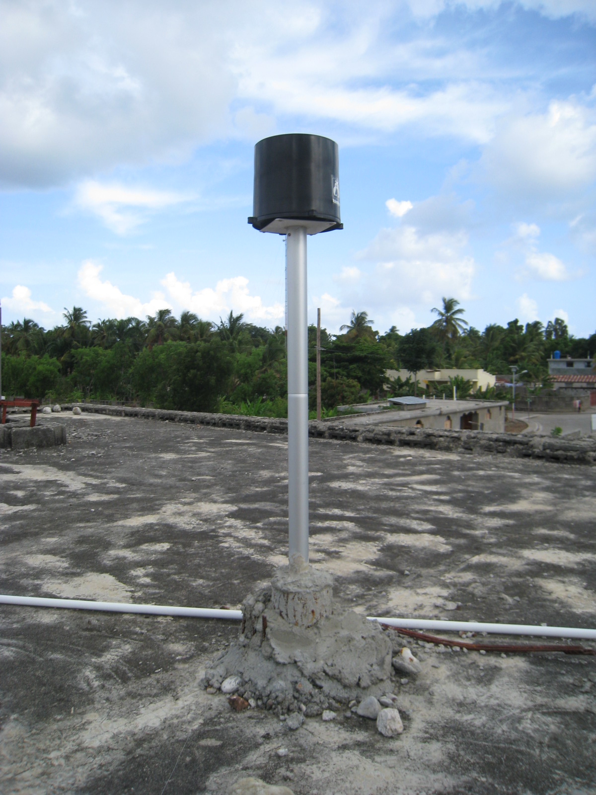
Several climate monitoring stations are installed at key locations throughout the study sites (the two photos on the left are of the weather stations locations in Saut Mathurine and Port-a-Piment, respectively). These stations collect and autonomously transmit data on precipitation, air temperature, relative humidity, wind speed and direction, and incoming solar radiation. In addition to these sources, efforts are made through our partners in the region to collected precipitation data from other existing rain gauges (far right photo shows an existing rain gauge installed on the roof of a building in the Les Anglaise watershed).