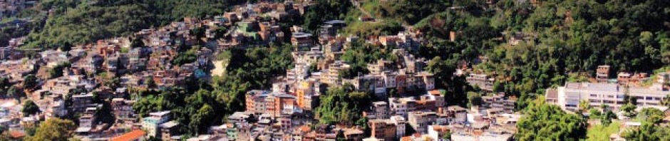
 Convert addresses to locations and knowledge about neighborhood conditions.
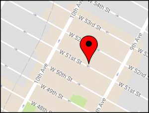
Geocoding converts an address to longitude and latitude coordinates, allowing you to link that address to a wide variety of spatially aligned data such as neighborhood characteristics (e.g. property values, crime rates, school zones), distance to parks, grocery stores, or medical facilities, flood zones, pollution estimates and social media feeds.
Department faculty and staff have more than a decade of experience geocoding addresses for a variety of applications, including in secure HIPPA- and FERPA-compliant environments. Past projects include:
- Participant addresses for the New York City Cancer Project.
- 81 million business addresses in the National Establishment Time Series database.
- Addresses for 25 million packages delivered by DHL.
- 2 million home and school addresses for New York City public school children.
- Longitudinal residential histories for Columbia Children’s Center, the Fragile Families Study and the New York City Neighborhood and Mental Health in the Elderly Study II.
- Home and work addresses for the New York City Department of Health and Mental Hygiene’s Physical Activity and Transport Survey.
- Home addresses for participants in Columbia University’s New York City Longitudinal Study of Wellbeing.
- 9 million locations of “Stop and Frisk” conducted by the New York City Police Department.
- Many other research projects supported by the NIH, CDC, Forest Service, and private foundations.
Available services include:
Batch geocoding, interactive geocoding, standardization of address data files using U.S.P.S Coding Accuracy Support System, and extensive characterization of demographic, built, social and economic conditions of the neighborhood areas around addresses.