Follow Us On:


Subscribe to Blog via Email
Search the site:
-
Recent Posts
- Social support and intimate partner violence in rural Pakistan: a longitudinal investigation of the bi-directional relationship
- Overflowing Disparities: Examining the Availability of Litter Bins in New York City
- In New York City, pandemic policing reproduced familiar patterns of racial disparities
- The COVID-19 Pandemic as a Threat Multiplier for Childhood Health Disparities: Evidence from St. Louis, MO
- Lessons Learned From Dear Pandemic, a Social Media–Based Science Communication Project Targeting the COVID-19 Infodemic
Faculty Publications on:

 PubMed Feed
Category Archives: Mapping
COVID-19 testing, case, and death rates and spatial socio-demographics in New York City
Social and Spatial Epidemiology Unit members, Byoungjun Kim, Andrew Rundle, Christopher Morrison, Charles Branas, and Dustin Duncan recently published research regarding neighborhood-level social and built environments as potential determinants of COVID-19 testing, case, and death rates in New York City. There is emerging … Continue reading
Mapping Food Insecurity During the COVID-19 Pandemic
Prior to the COVID-19 pandemic, 11% of households and nearly 16% of families with children were food insecure. With schools closed and families out of work, food insecurity rates are expected to skyrocket in the coming months. During the crisis, … Continue reading
Updated: County Level Estimates of Highly Stressed Health Care Systems
The Built Environmental and Health Research Group’s online mapping tool has been updated with new data showing counties that are at high risk of experiencing patient volumes that exceed their hospital capacity over the next 6 weeks. The maps show at risk … Continue reading
Posted in COVID-19, Health Care, Health Disparities, Mapping, Spatial Analysis
Leave a comment
County Level Estimates of When Hospital Capacity will be Overwhelmed
A multi-institution team led by Charles Branas, and including Andrew Rundle and staff from the Social and Spatial Epidemiology Unit, has been making county level estimates for the U.S. of the time until health systems are overwhelmed with patients. The … Continue reading
Posted in Health Care, Health Disparities, Mapping
Leave a comment
Estimated ICU Beds Available to Respond to Patient Surges
Social and Spatial Epidemiology Unit members Charles Branas and Andrew Rundle, along with colleagues from Patient Insight, the Mount Sinai Health System and MIT, have created estimates of the number of hospital critical care beds, including ICU beds and other … Continue reading
Posted in Health Care, Health Disparities, Mapping, Spatial Analysis
Leave a comment
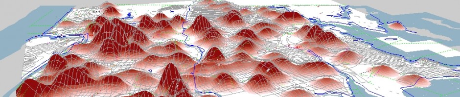
Mapping Populations at Risk for Severe COVID-19, continued
The Built Environment and Health Research Group’s geographer extraordinaire, James Quinn, built a new version of their interactive mapping tool for severe COVID-19. The map depicts populations at high risk of severe COVID-19 due to older age or underlying health … Continue reading
Documenting the Iron Pipeline: The flow of guns around America
On Saturday May 2, 2015, Detective 1st Grade Brian Moore of the New York Police Department was shot and killed in while on patrol in Hollis, Queens. Moore’s partner, Eric Jansen, was also shot but was not seriously injured. In … Continue reading
Posted in Injury, Mapping, Spatial Analysis
Leave a comment